
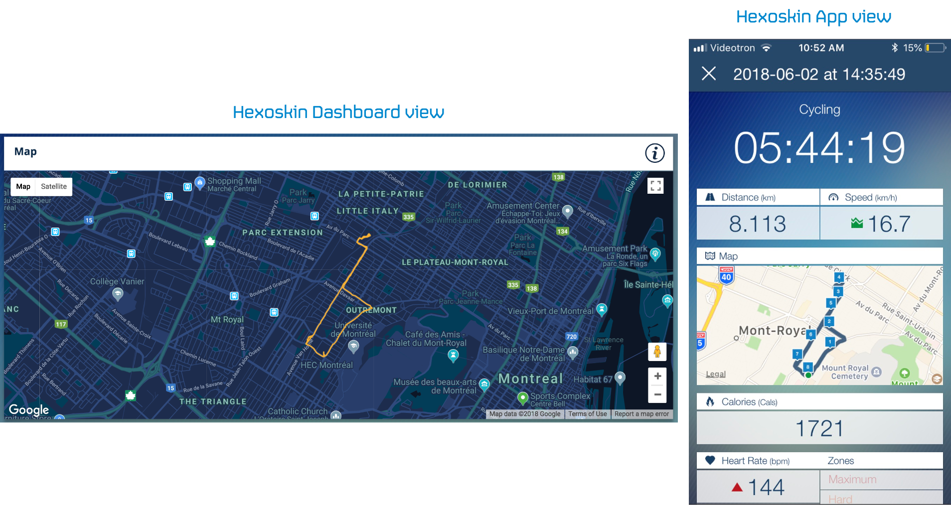
The Hexoskin system doesn't have a built-in GPS. Hexoskin will display the GPS data of your phone during cycling or run activity only. For these activities, GPS is used as part of the algorithm to calculate the distance travelled and a map of your route will be displayed on the Hexoskin App at the end of the activity, and on the Dashboard (after data synchronization).
The overviews of the map on your Dashboard (left panel) and on your Hexoskin mobile application (right panel):
Please note that GPS data cannot be collected for stationary biking or track racing.
Refer to this link to learn how to grant the Hexoskin app access to your phone's GPS. You do have the option to deactivate this feature, however, keep in mind that by doing so, your location data will not be recorded, therefore the distance travelled as well as the access to the map at the end of your activity will not be available.
GPS data is collected only if you are using the mobile app to tag your cycling or running activity. Please note that it is not possible to calculate the distance travelled and generate a map of your route on a past record.